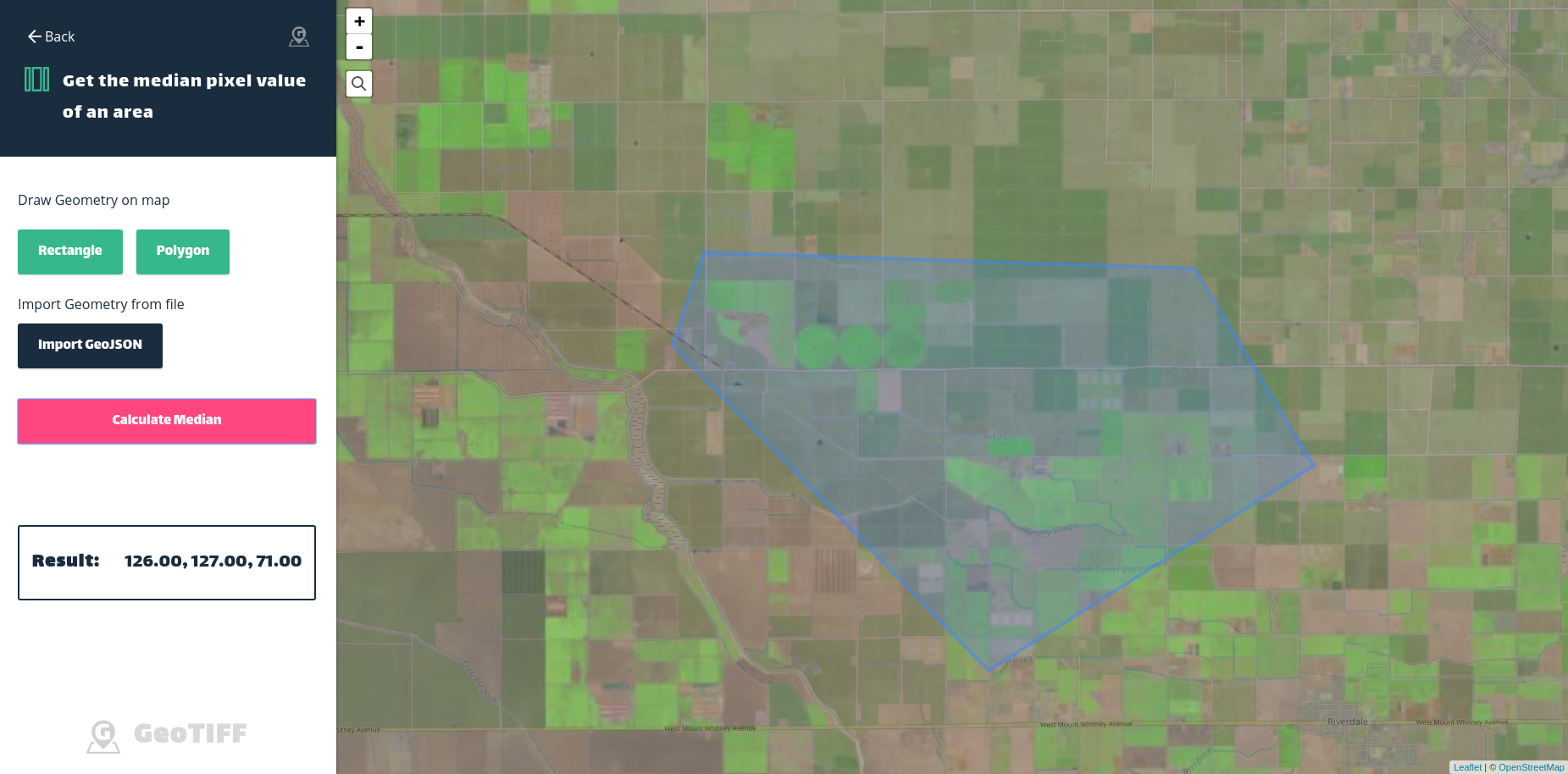
geotiff.js is a small library to parse TIFF files for visualization or analysis. It is written in pure JavaScript, and is usable in both the browser and node.js applications.
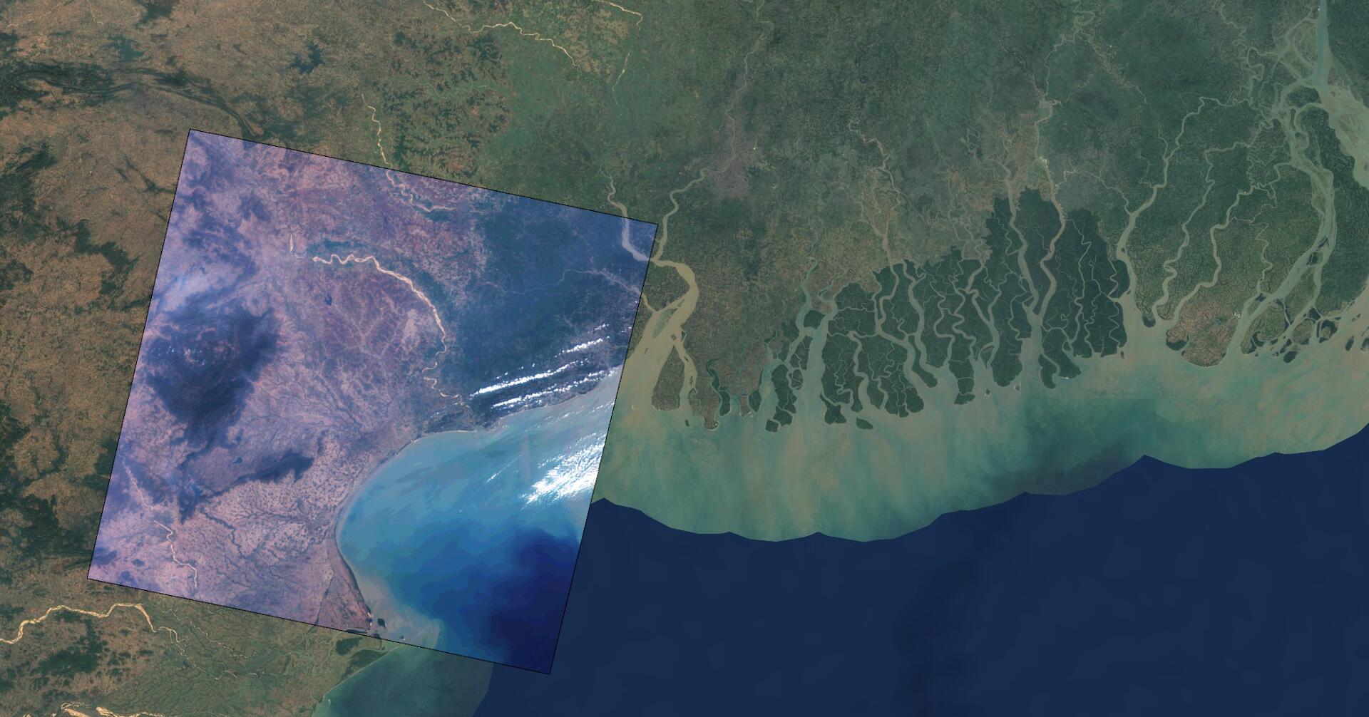
geotiff.js aims to support as many TIFF features as possible, including various image compression methods, geographical information, internal tiling, pixel or band interleaving, automatic transformation from several color spaces to RGB, and much more.
The library is fully open source (MIT), and contributions are very welcome!
This is the GitHub project page for geotiff.js, where you can find all the relevant information, request features, or report bugs.

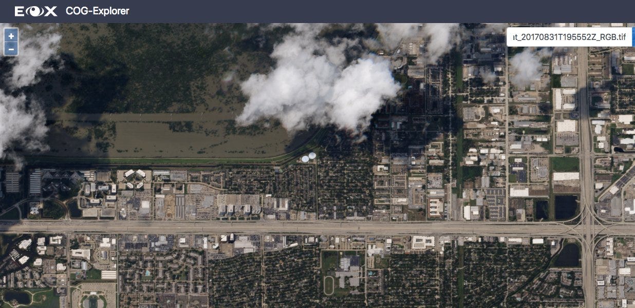
This is the GitHub project page for the COG-Explorer app.
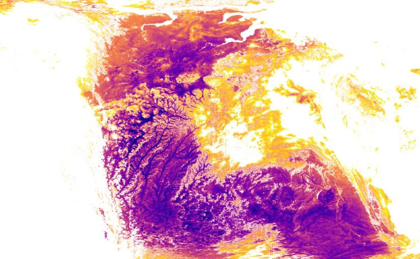
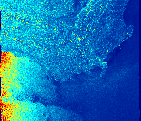
geotiff.js and plotty.js - Visualizing Scientific Raster Data in the Browser